
Aerial Photography That Sells Property Faster
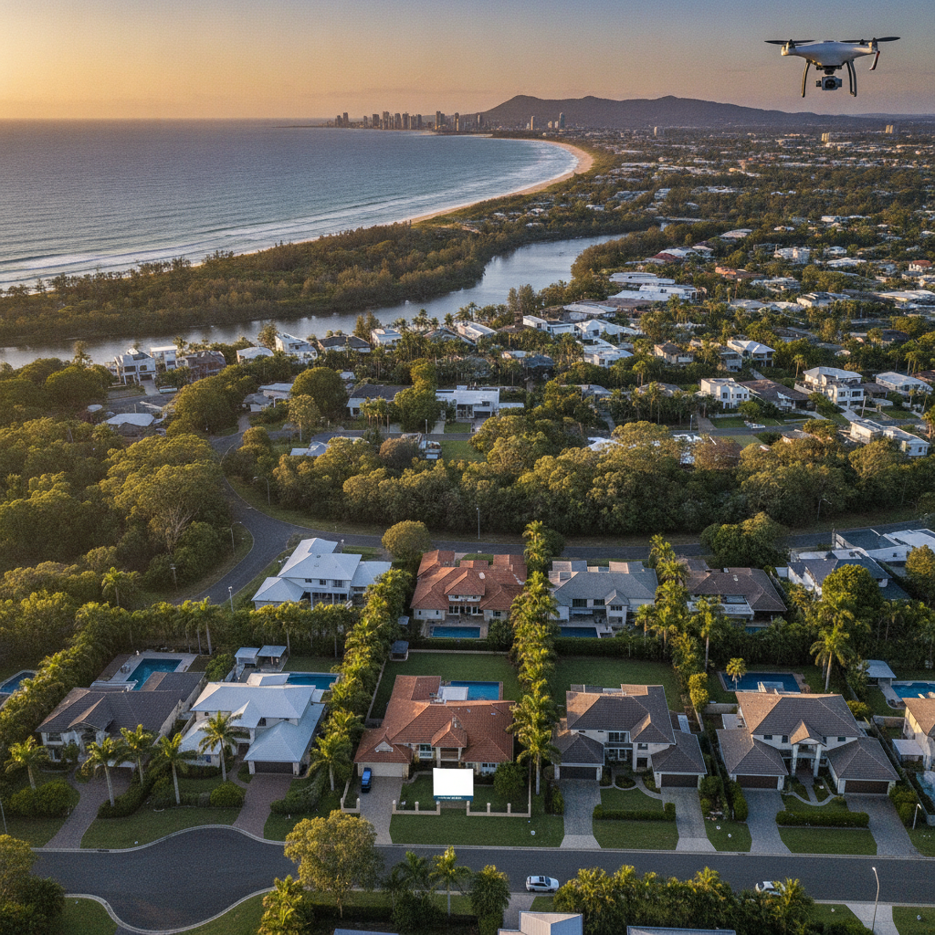
Buyers scroll fast. In a feed full of similar front-of-house shots, the listing that shows the whole block — the pool, the yard, the neighbour's fence line, the road in — is the one that earns the second glance.
That is what aerial work does best. It answers the questions a ground-level photo cannot: how big is the block really, where does the sun set, how far is the park, what does the street actually look like. Context sells, and the drone delivers context in a single frame.
For acreage and rural listings it is non-negotiable. A 40-acre property shot from the gate tells the buyer almost nothing; shot from 120 metres up it tells the whole story. We fly across Logan, the Gold Coast hinterland, Ipswich and the Darling Downs, and the difference in enquiry is immediate.
It is also a compliance tool as much as a sales one. Roof condition, fence lines, access roads, site progress — the same images that sell the lifestyle double as a record of the asset. One shoot, two uses, and a listing that finally looks as good on screen as it does from the kerb.
Want results like these for your brand?
Request a session